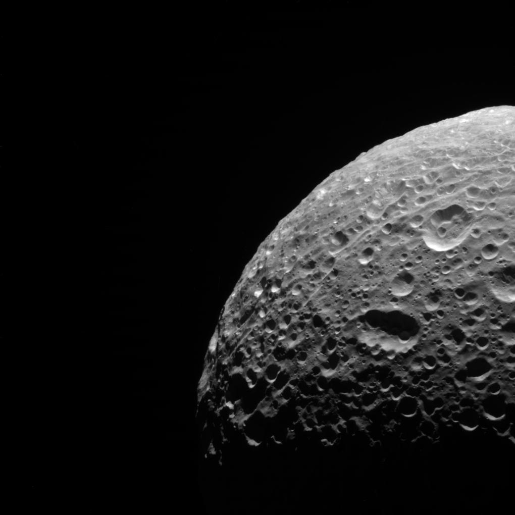
Polar Scars

| PIA Number | PIA18292 |
|---|---|
| Language |
|
In addition to being evidence of past impacts, craters can serve another valuable scientific purpose. By counting the number of craters in an area, scientists can estimate the age of the terrain. Older surfaces, such as on Mimas (246 miles, or 396 kilometers across), will have more craters per unit area than younger surfaces.
The view was acquired at a distance of approximately 30,000 miles (50,000 kilometers) from Mimas. Image scale is 981 feet (299 meters) per pixel.
This view looks toward the trailing hemisphere of Mimas. North on Mimas is up and rotated 4 degrees to the left. The image was taken in visible light with the Cassini spacecraft narrow-angle camera on June 5, 2012.
The view was acquired at a distance of approximately 31,000 miles (50,000 kilometers) from Mimas. Image scale is 982 feet (299 meters) per pixel.
The Cassini-Huygens mission is a cooperative project of NASA, the European Space Agency and the Italian Space Agency. The Jet Propulsion Laboratory, a division of the California Institute of Technology in Pasadena, manages the mission for NASA's Science Mission Directorate, Washington, D.C. The Cassini orbiter and its two onboard cameras were designed, developed and assembled at JPL. The imaging operations center is based at the Space Science Institute in Boulder, Colo.
For more information about the Cassini-Huygens mission visit http://saturn.jpl.nasa.gov or http://www.nasa.gov/cassini . The Cassini imaging team homepage is at http://ciclops.org .
Credit: NASA/JPL-Caltech/Space Science Institute
