2 min read
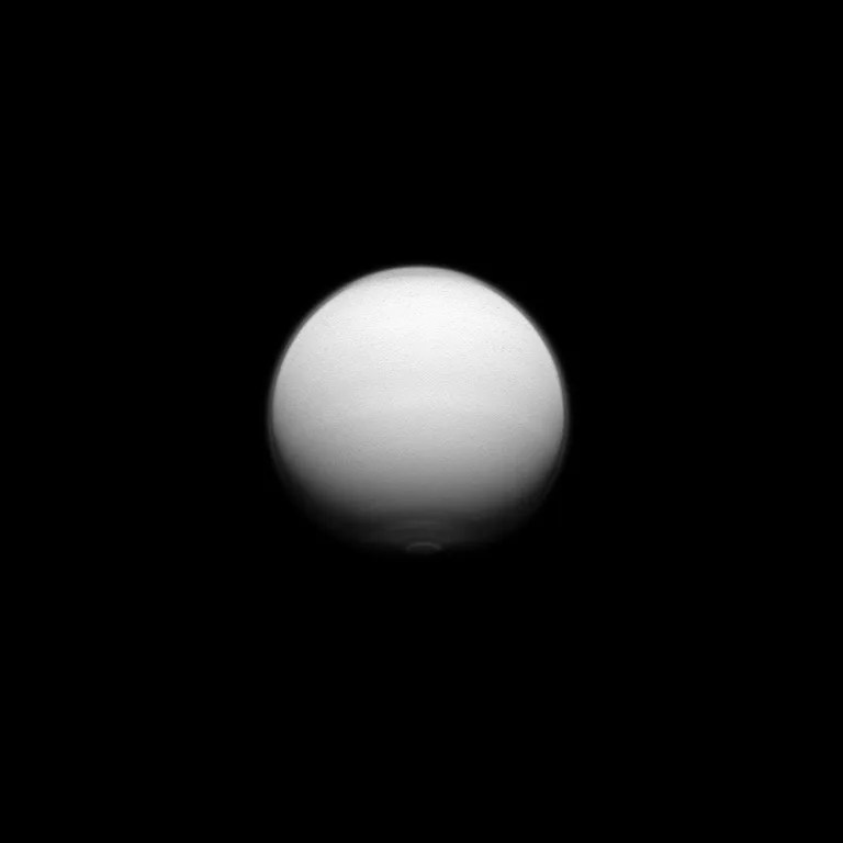
T-87 was the first of two passes in the Solstice Mission where the ion and neutral mass spectrometer (INMS), the attitude and articulation control subsystem (AACS) team, and the navigation (NAV) team simultaneously acquired data using three different, independent data types to be used to estimate Titan’s atmospheric density. This objective was enabled by tracking Cassini during its pass through the upper atmosphere. NAV can then estimate density using drag information, AACS can estimate it using torque data, and INMS can estimate it with direct in situ measurements. This is critical to understanding differences in the atmospheric density as calculated by INMS, NAV, AACS, and the ultraviolet imaging spectrograph (UVIS). Previous Titan passes where the spacecraft has dipped into the upper atmosphere have been assigned to other investigations during the closest approach phase, such as Radar and optical remote sensing, thus precluding tracking during the pass, so this is a first for Cassini.
In addition, during this flyby, the visible and infrared mapping spectrometer (VIMS) observed cloud patterns to monitor climatic changes after the equinox, and look for specular reflection on the northern lakes. The imaging science subsystem (ISS) rode along with the composite infrared spectrometer (CIRS) and the visible and infrared mapping spectrometer (VIMS) observations, inbound and outbound, to image Titan's atmosphere. The outbound leg included the region where extensive surface changes were observed in the fall of 2010.
Date
Nov. 13, 2012
Altitude
605 miles (973 km)
Speed
13,000 mph (5.9 km/sec)

