Missions
Search All NASA Missions
A to Z List of Missions
Upcoming Launches and Landings
Spaceships and Rockets
Communicating with Missions
Artemis
James Webb Space Telescope
Hubble Space Telescope
International Space Station
OSIRIS-REx
Humans in Space
Why Go to Space
Astronauts
Commercial Space
Destinations
Spaceships and Rockets
Living in Space
Earth & Climate
Explore Earth Science
Climate Change
Earth, Our Planet
Earth Science in Action
Earth Multimedia
Earth Data
Earth Science Researchers
About NASA
NASA's Impacts
Centers and Facilities
Directorates
Organizations
People of NASA
Careers
Internships
Our History
Doing Business with NASA
Get Involved
Contact
Learning Resources
For Kids and Students
For Educators
For Colleges and Universities
For Professionals
Science for Everyone
Space Samples for Learning
Request an Exhibit or Speaker
STEM Engagement at NASA
Aeronautics
Science in the Air
NASA Aircraft
Flight Innovation
Supersonic Flight
Air Traffic Solutions
Green Aviation Tech
Drones & You
Technology
Technology Transfer & Spinoffs
Space Travel Technology
Technology Living in Space
Manufacturing and Materials
Robotics
Science Instruments
Computing
The Universe
Exoplanets
The Search for Life in the Universe
Stars
Galaxies
Black Holes
The Big Bang
Dark Matter & Dark Energy
The Solar System
The Sun
Mercury
Venus
Earth
The Moon
Mars
Jupiter
Saturn
Uranus
Neptune
Pluto & Dwarf Planets
Asteroids, Comets & Meteors
The Kuiper Belt
The Oort Cloud
Skywatching
Español
Ciencia
Aeronáutica
Ciencias Terrestres
Sistema Solar
Universo
Science
All NASA Science
Earth Science
Planetary Science
Astrophysics & Space Science
The Sun & Heliophysics
Biological & Physical Sciences
Lunar Science
Citizen Science
Astromaterials
Aeronautics Research
Human Space Travel Research
Explore
Search
Submit
News & Events
Multimedia
NASA+
…
Cassini Multimedia
Cassini Multimedia –...
Cassini Home
Overview
Why Cassini Mattered
Timeline
Quick Facts
Mission
About the Mission
The Grand Finale
The Team
Top 10s
Saturn Tour
FAQ
Science
Overview
Rings
Titan
Enceladus
Moons
Magnetosphere
Multimedia
All Multimedia
Audio
Featured Raw Images
Graphics
Hall of Fame
Images
Videos
Explore This Section
Cassini Home
Overview
Mission
Science
Multimedia
Cassini Multimedia – Images
Filters
Remembering Cassini, Texas Style
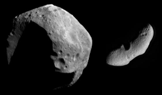
Saturn’s Battered Moon Hyperion
Titan Mosaic: The Surface Under the Haze
Image of Iapetus
Image of Titan
Image of Sun
Image of Atlas
Image of Saturn
Image of Sky
Image of Titan
Image of Sun
Image of Saturn
Previous
1
2
3
4
5
…
342
Next
Keep Exploring
Discover More Topics From NASA
Sun
Planets
Asteroids, Comets & Meteors
Kuiper Belt